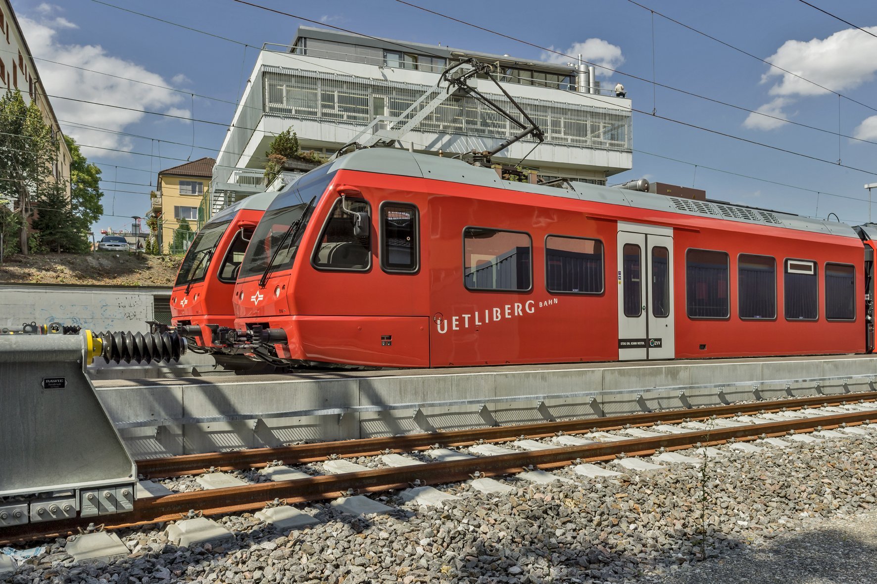
"Thanks to our rail GIS, we save time" - Interview with SZU


The Sihltal Zürich Uetliberg Bahn (SZU) has introduced a digital railroad GIS system together with Basler & Hofmann. It enables efficient, centralized management of its facilities and automates the reporting required by regulations. We asked the SZU why it decided to change systems and how the railroad GIS is proving its worth.
Mr. Scheu, as Head of Infrastructure Management at SZU, you ordered the railroad GIS project from us. What was the trigger for the introduction?
Lukas Scheu: There was no single trigger, but we realized that our system and data landscape could not keep pace with the increasing number of passengers. As an infrastructure operator, we also have to meet reporting requirements, which involves a lot of work. We wanted to automate this.
How did you go about selecting a provider and system?
Lukas Scheu: For a small railway company, introducing such a system not only represents a paradigm shift, but also a considerable operational and financial risk. That's why it was important for us to first understand our own requirements. Only then could we start looking for a solution. We talked extensively with other railways about their systems and experiences. Four systems made it onto the shortlist. The SAMO LIDS solution from Asseco Berit, operated by Basler & Hofmann, came out on top.
How were you able to manage the introduction of the railroad GIS?
Lukas Scheu: After deciding on the system, we looked for a GIS specialist. This gave us the necessary power and technical know-how in the team. The railroad GIS itself is managed by the GIS team at Basler & Hofmann.
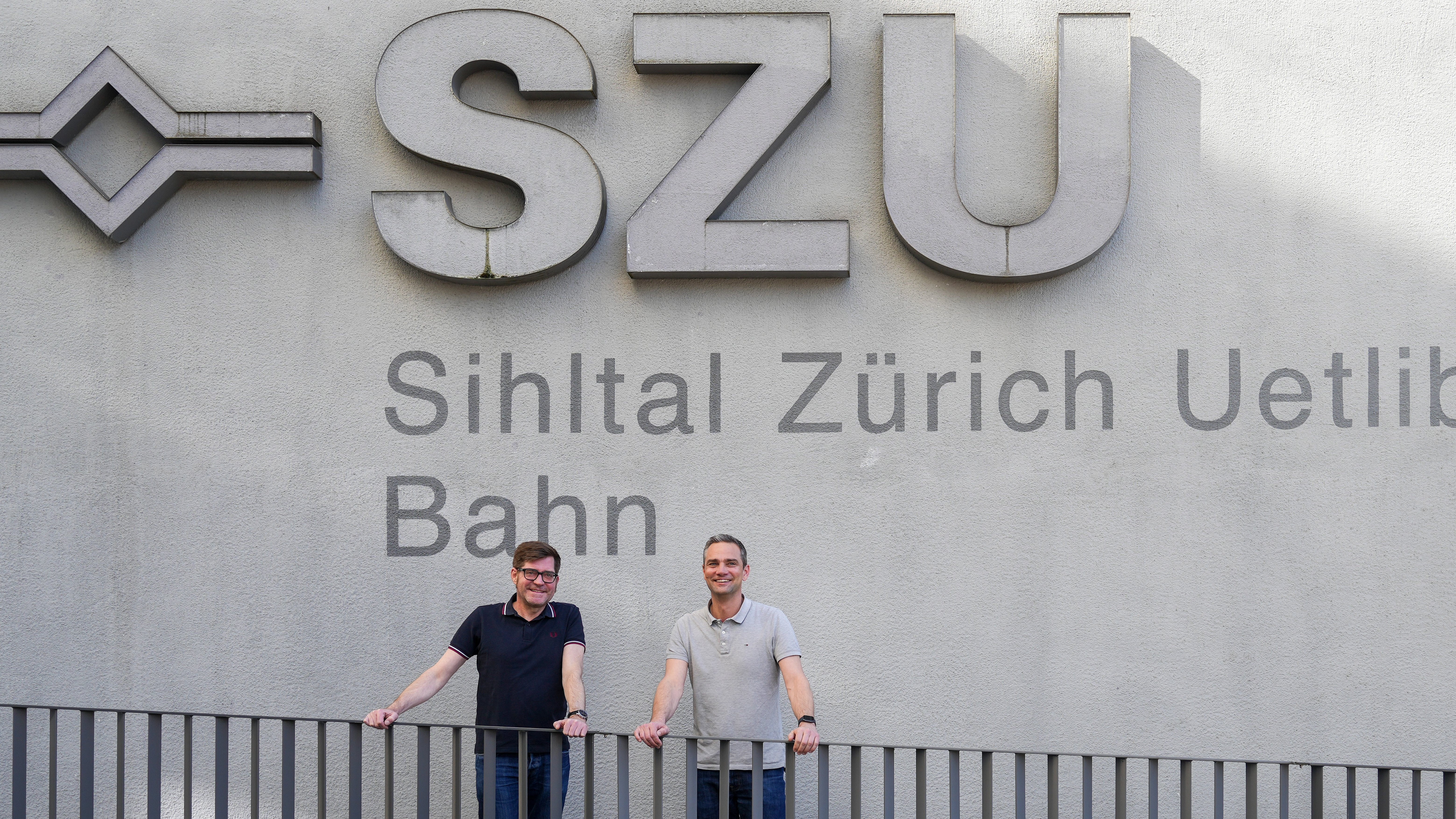
Mr. Peter, you joined the project as project manager during the project. How has the new system been received?
Christian Peter: Very well, because previously the teams had to click through numerous PDF plans to find the right information. That was time-consuming. Today, you simply open the railroad GIS, display the desired information and intuitively zoom in to the relevant location, just like with Google Maps. This saves a lot of time and makes work easier. The display is also more flexible. I can display only the signals and hide everything else or create my own plans, draw something in or measure something out.
- Also read the report on how SZU digitized its infrastructure management.

Advantages of the railroad GIS at a glance
Where previously individual systems, local knowledge and manual comparisons were necessary, a rail GIS offers many advantages:
- Central database ("single source of truth")
- Import of basic data from the route planning software (Toporail)
- Location-independent access to all information
- Role-based provision of content and functions
- Integration with existing systems (e.g. ERP)
- Evaluations, dashboards, reporting (e.g. network status report)
- Functions for damage and maintenance management